Skip to content
Zomma Golf
Menu

Mayfield Sand Ridge Club is an 18-hole private golf course in Chardon, Ohio.

It plays 7,275 yards from the Double Diamond tees, rated 75.8/141 (checked 2026-08-14).

Create a free account to save Mayfield Sand Ridge Club to My Game, where every course you save is measured against the rest of its state on the figures it publishes.

18
holes
72
par
7,275
yards (tips)
141
slope (double diamond)
The shape of the round · Diamond teespublished figures only
HOLE ORDER — DIAMOND TEES363383545186407485441142374370441150444540311385200531142435435465748394104114123134145154164173185PAROUT 3,326 YDSIN 3,372 YDSFIRST NINESECOND NINE
The published card in playing order, 18 holes with the two nines split — hole number under each bar, its par below that.

The course

access
private
address
Club Drive, Chardon, OH, 44121
elevation
1,018 ft derived
opened
1998

41.51095, -81.50669 — open on OpenStreetMap →

The course, from above

OpenStreetMap has this course's outline but has not traced any of its 18 holes. The shaded area is the property; no hole, green or tee is drawn.

The outline of Mayfield Sand Ridge Club as OpenStreetMap holds it, drawn over NAIP 2023 aerial imagery. No hole, green or tee has been traced inside it.

Use arrow keys to pan, plus and minus to zoom. Tab reaches the map controls.

The outline of Mayfield Sand Ridge Club as OpenStreetMap holds it, drawn over NAIP 2023 aerial imagery. No hole, green or tee has been traced inside it. The map itself needs JavaScript; the outline is a plain GeoJSON file either way.

Imported from OpenStreetMap, edges unchecked · USDA NAIP 2023-05-26

The outline is the whole of the traced geometry here, so there is no hole or green to jump to and nothing to measure a yardage against.

Tees & ratings

Ratingsopen datachecked 2026-08-14

All 5 tee sets par, yardage, course rating, slope — the full table

Sorted by Yards, descending. 5 rows.

Double DiamondM72727575.8141
DiamondM72669873.113733263372
FazioM72633070.513331593171
SquareM72589069.012629322956
CircleF72510069.211725612539

Every figure as published; a blank cell is one nobody publishes. Front 9 and Back 9 are summed from the per-hole yardages on the scorecard.

Scorecard

Scorecardopen datachecked 2026-08-14

Hole 123456789101112131415161718 Total
Par 445345434443454435 72
Diamond 363383545186407485441142374370441150444540311385200531 6,698
Fazio 338358516163380480419136369346407145424511306350186496 6,330
Square 290351450157376450393122343340376121360480291343180465 5,890
Circle 25231040212133340133910330029430111032544125728680445 5,100
Handicap 157113311517910618281641412

No per-hole yardages are published for Double Diamond, so it is not on the card above.
The Studio

The Studio can't plan Mayfield Sand Ridge Club hole by hole yet.

We hold its scorecard, but nobody has traced its holes: the bunkers, water and fairway edges a plan aims around.

It plans 4,579 courses hole by hole today, and it charts your bag anywhere.

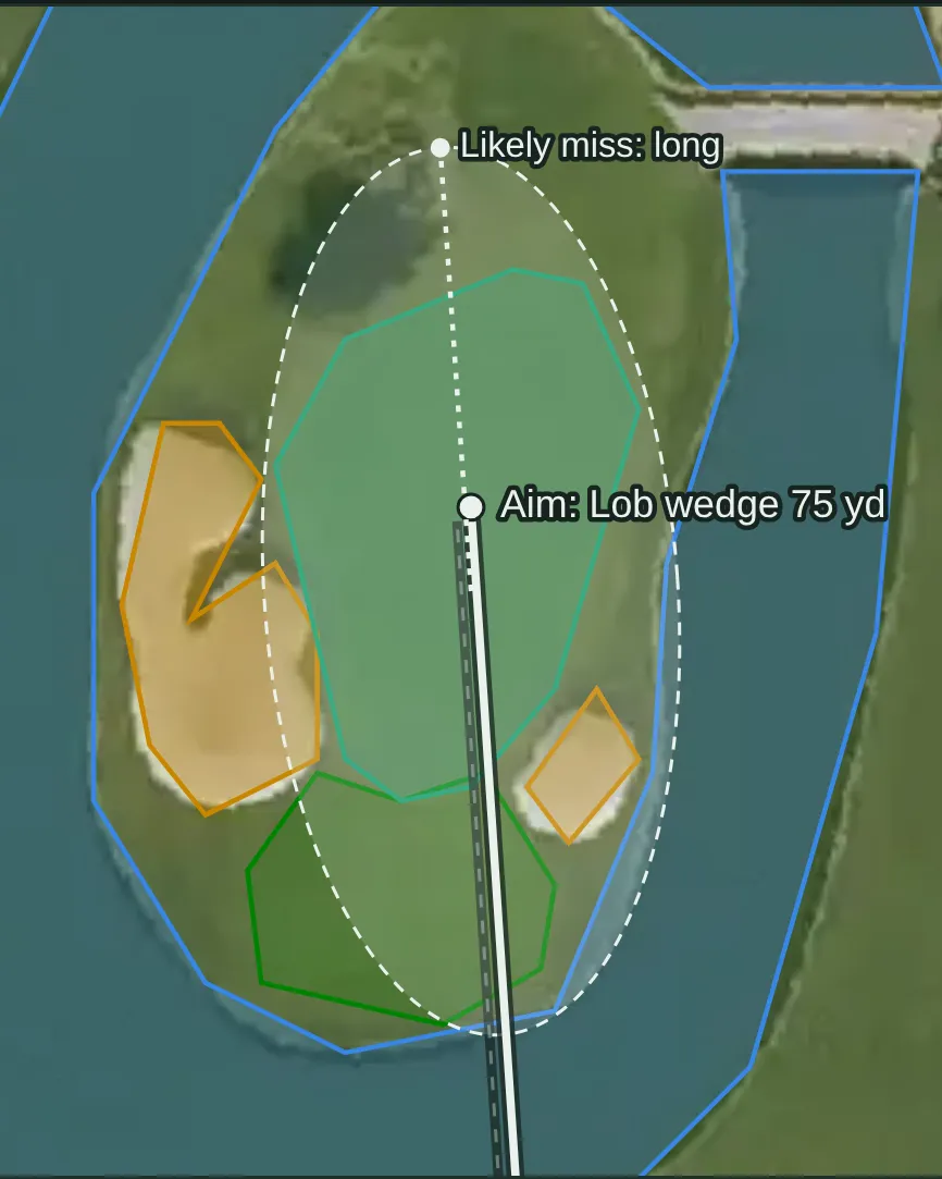
  • The approach, planned A Studio approach map on the aerial photo: a lob wedge aimed at the island green, its spread drawn as a dashed ring over the water, and the side it most often misses. Example from another course: hole 15, Resort tee, Stadium Course at TPC Scottsdale
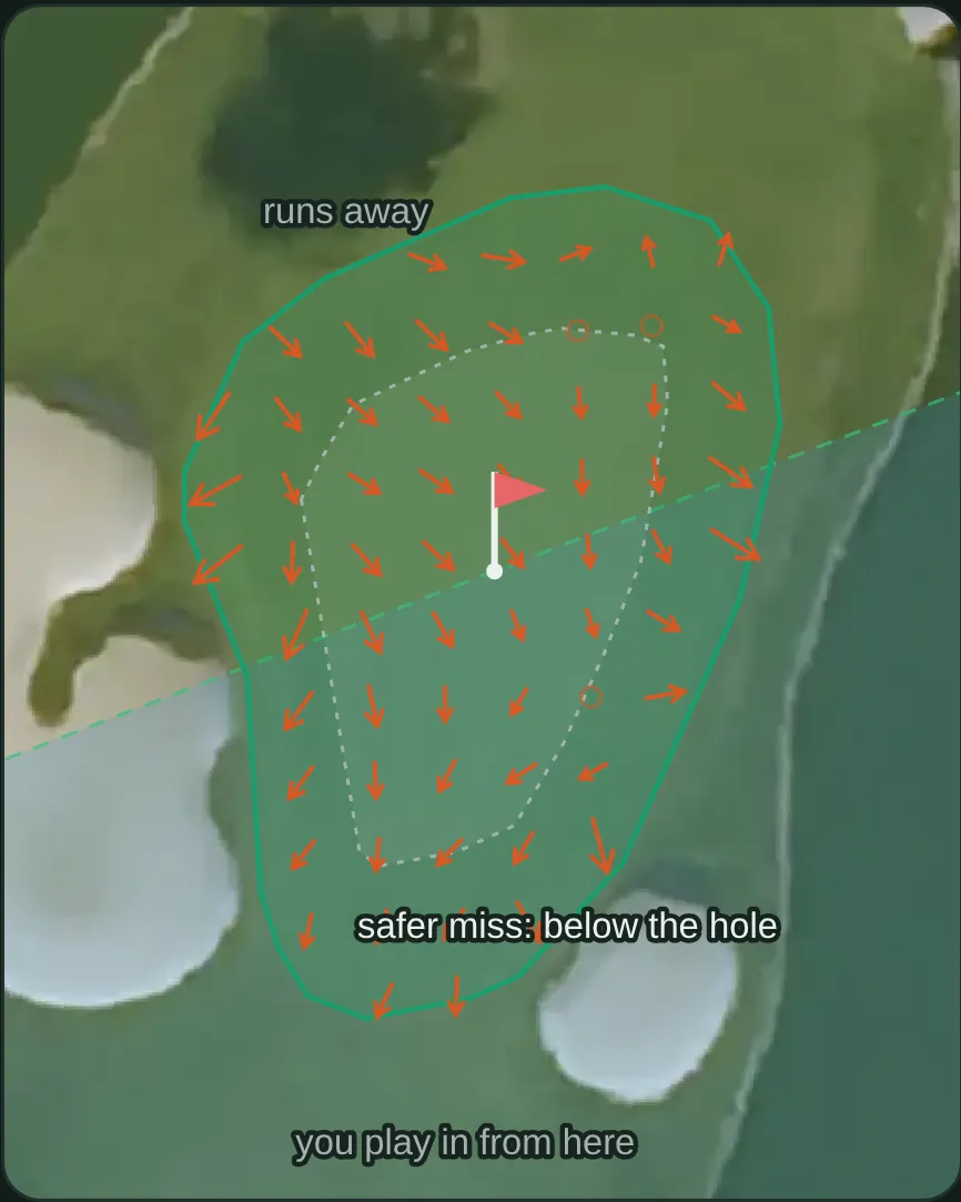
  • The green, from LiDAR A Studio green view on the aerial photo: arrows for the slope a LiDAR survey measured, the area a cup could be cut, and the safer side to miss. Example from another course: hole 15, Stadium Course at TPC Scottsdale
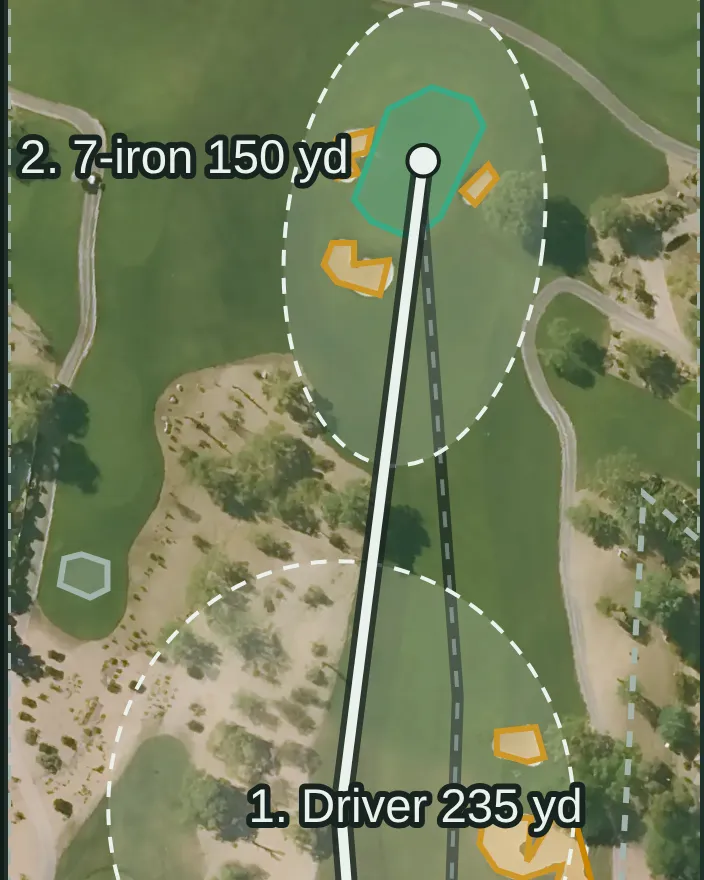
  • Every shot, tee to green A Studio plan on the aerial photo of a desert par 4: the driver off the tee and a 7-iron into the green between the bunkers, each shot with its landing spread drawn as a dashed ring. Example from another course: hole 2, Resort tee, Stadium Course at TPC Scottsdale

See the courses it plans Open the Studio

Pictures: Studio output for a sample golfer, drawn 2026-10-15. The Studio needs a free account. AI can make mistakes.

© OpenStreetMap contributors

Book nearby

Mayfield Sand Ridge Club states private access, so there is no tee time here to book. The nearest courses that state access you can book: Highland Park Golf Course (3.8 mi, public)

Measured against comparable courses

How hard and how long this course plays against comparable courses — never how good it is.

FigureThis courseIn OhioNationwideAmong its peers
Longest7,275 yds=9th of 414=421st of 12,025=1st of 62 in the Cleveland, OH metro area · =165th of 2,954 private courses · =421st of 9,017 18-hole regulation courses
Toughest testslope 141=9th of 316=777th of 8,710=1st of 45 in the Cleveland, OH metro area · =345th of 2,300 private courses · =760th of 7,089 18-hole regulation courses
Hardest from the tipsrating 75.8=5th of 293=213th of 7,615=1st of 42 in the Cleveland, OH metro area · =102nd of 2,143 private courses · =213th of 7,034 18-hole regulation courses
Widest tee spread2,175 yds between tees=42nd of 393=1,504th of 11,523=7th of 59 in the Cleveland, OH metro area · =467th of 2,885 private courses · =1,469th of 8,962 18-hole regulation courses
Oldestopened 1998=303rd of 355=7,592nd of 9,368=43rd of 48 in the Cleveland, OH metro area · =2,046th of 2,418 private courses · =5,574th of 7,001 18-hole regulation courses
Highest above sea level1,018 ft derived 134th of 433=3,324th of 12,43725th of 63 in the Cleveland, OH metro area · =619th of 3,026 private courses · =2,277th of 9,106 18-hole regulation courses

What's on this page

In progress2 of 6 built

2 of 6 parts of this course page are built, and we're filling in the rest.

  • Scorecard, built.Par and yardage for every hole, from 4 sets of tees.
  • Course rating and slope, built.Rated from 5 sets of tees.
  • Course map, partly built.The course's outline is drawn, but none of its 18 holes has been traced in OpenStreetMap yet.
  • Per-hole distances, not built yet.The holes aren't traced yet, so there are no measured carries or distances to the green.
  • Green contours, not built yet.We haven't built the green contours for this course yet.
  • Course details, partly built.4 of 7 background details — we don't hold the architect, a phone number and the grass on the greens.

The site is in beta and the database is still being built, so expect gaps. Know something we don't? Help us fill it in — a link to where it's published is worth more than anything else you could send.

Sources

Gathered from the course's own site and public records — every figure on this page is traceable to who published it and when. Spot an error or a gap? Tell us.

Location and identity seeded from OpenStreetMap — © OpenStreetMap contributors, ODbL. Last checked 2026-08-14. Where each figure came from is stated beside it, above.

Compare this course →

Or go straight to a comparison: vs Canterbury Golf Club · vs The Country Club · vs Shaker Heights Country Club

Nearby courses

Straight-line distance from this course's coordinates, within 60 miles — not driving distance, and it crosses state lines where the nearest courses are over one.

Know something about this course? 11 fields we don't hold — or tell us something here is wrong